Author: Dan Ford
<- Return to all blogs
-
Volunteers Put 9,000 Buildings on a Map Used to Plan Malaria Eradication Efforts
More than 65 volunteers gathered for a 4-hour marathon mapping session – the Philly Mapathon – during PhillyTechWeek to put vulnerable communities on the map. The data that was recorded during the event will be used by NGOs like Humanitarian OpenStreetMap and the Clinton Health Access Initiative (CHAI) to plan malaria eradication interventions in Zimbabwe. Charlotte…
-
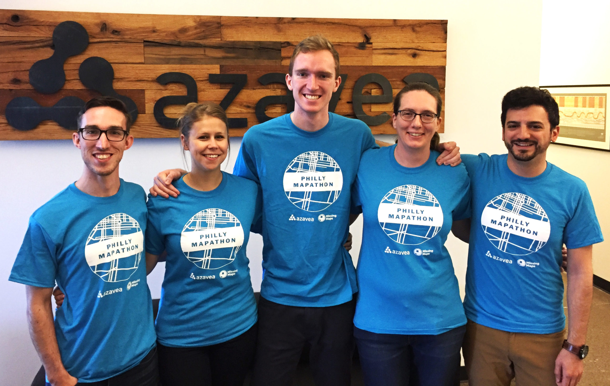
Release of Important City Data On The Line in OpenDataVote
OpenDataVoteВ is a cooperative effort between many partners includingВ Azavea, Tech Impact, Technical.ly Media, Code for Philly, the City of Philadelphia and others. This initiative gives the public an opportunity to vote for the data sets they believe their government should release as open data. The public voting stage of OpenDataVote continues until May 1 at 5pm…

-
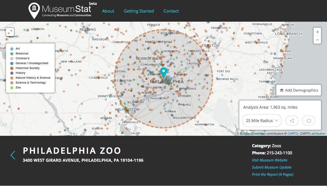
Visualize US Museums with MuseumStat
In this post, we discuss MuseumStat, an application developed by our team as a resource for museums, communities, and researchers to gain insights into the reach of museums and communities they serve.
-
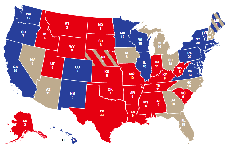
5 Election Results Maps You Need for Election Day
This post details 2016 election maps to watch on election night.
-
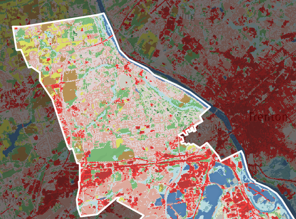
Model My Watershed: Tool for Analysis of Land Use Change Impacts
In this post, we discuss Model My Watershed, a tool designed to analyze land use change impacts.
-
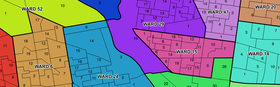
Updated Philadelphia Political Ward Data on OpenDataPhilly
In this post, we discuss our findings after compiling historic Philadelphia political ward data and ward division data from different sources.