STAC
<- Return to all blogs
-
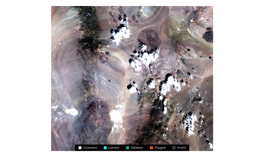
The Azavea Cloud Dataset
Azavea is releasing a dataset consisting of 32 unique Sentinel-2 tiles with cloud labels produced by humans.
-
The Azavea Cloud Dataset
Azavea is releasing a dataset consisting of 32 unique Sentinel-2 tiles with cloud labels produced by humans.
-
Getting Started with STAC APIs
STAC is a specification for enabling online search and discovery of geospatial assets. This post walks through getting started with a number of STAC APIs.
-
STAC Labeling Competition — Video Recap
Hear from labeling competition participants on why this diverse group of people came together, from across the world, to collaborate on a hallmark training dataset compliant with the STAC standard.
-
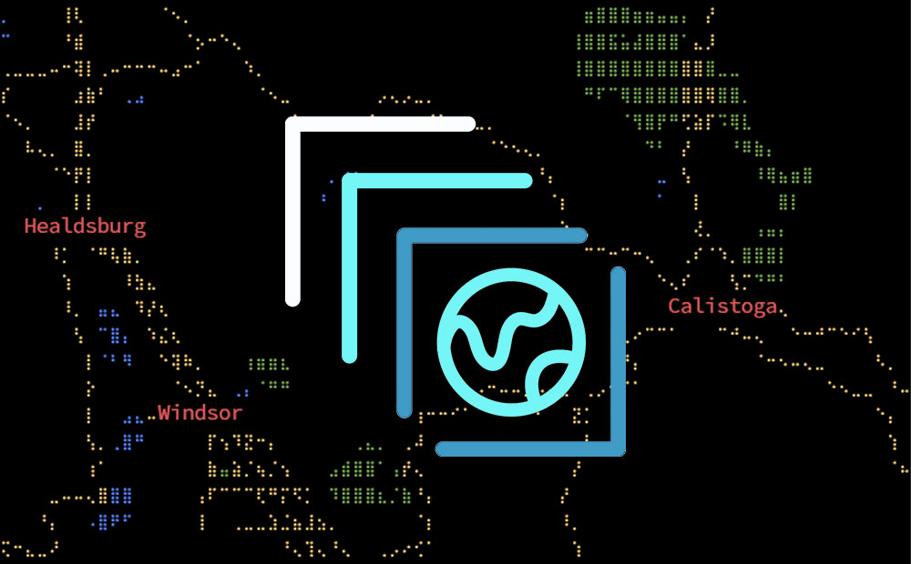
Three Lessons from Running an Imagery Labeling Competition
We joined with Radiant Earth at the Cloud Native Geospatial Sprint to run a labeling competition for non-technical folks. This resulted in over 2.3 million square kilometers mapped and lots of lessons learned.
-
PySTAC 0.5.0 for STAC 1.0.0-beta.2
PySTAC 0.5.0 for STAC 1.0.0-beta.2 is released! We’re keeping PySTAC up with changes to the spec itself, and rounding out the library with new extensions and features. In this post, we’ll catch you up with what’s new.

-
Betting Big on the Spatiotemporal Asset Catalog (STAC) Standard
We’re investing heavily in the STAC specification – including building a STAC-compatible Python library and server as well contributing to the Label Extension. We’re hoping this work will help accelerate adoption across the geospatial engineering community more broadly.

-
Introducing PySTAC: A Core Library for SpatioTemporal Asset Catalogs
PySTAC is a Python library for reading, writing, and manipulating SpatioTemporal Asset Catalogs. PySTAC 0.3 is now released and ready to use!
-
STAC: Creating an Ecosystem of SpatioTemporal Assets
STAC is creating an ecosystem of interoperable spatiotemporal assets. Learn how Azavea has contibuted and about future steps for the specification.