Open Source
<- Return to all blogs
-
D3 chart data scrubber in Angular
Open-source code with instructions to create an interactive feature like a data scrubber in Angular (Angular 2, Angular 4+) when mousing over a d3.js chart or visualization.
-
D3 chart data scrubber in Angular
Open-source code with instructions to create an interactive feature like a data scrubber in Angular (Angular 2, Angular 4+) when mousing over a d3.js chart or visualization.
-
Trajectory of Geospatial Open Source Innovation Discussed at FOSS4G NA
Earlier this month, we presented, exhibited, and attended talks at FOSS4G NA in St. Louis. Read our recap of events and view the slides from our presentations.

-
Open Civic Data Standards: Book of Adopted and Proposed Standards
The Open Civic Data Standards ebook outlines the status of open data standards in several civic domains and lists domains where there is strong potential for developing or defining new open data standards.

-
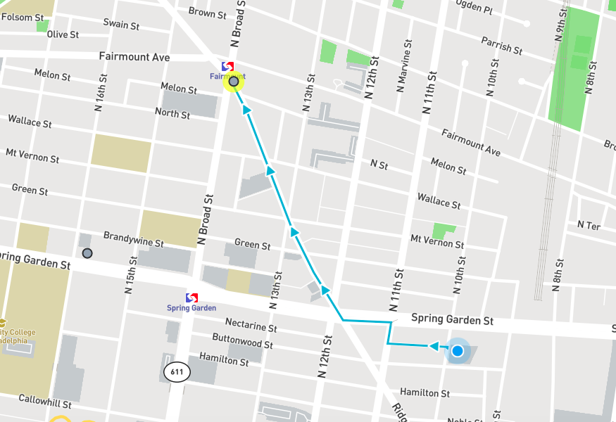
Find the Nearest Cheesesteak on National Cheesesteak Day
This web app built for National Cheesesteak Day provides walking directions to the nearest top ranked restaurant that serves cheesesteaks.
-
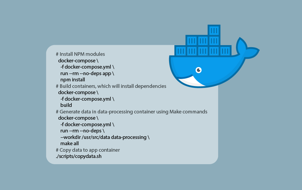
Repeatable Data Processing Workflows with Docker and Make
View the code and methods for how we used Docker and Make to create data processing workflows that match the rigor of our software development workflows.
-
Predicting Land Use in the Amazon using Deep Learning
Learn about our methods and results leveraging our RasterVision deep learning project to predict land use in satellite images of the Amazon.

-
Weighing Scalaz vs Cats Scala Libraries for GeoTrellis
After a thorough research period that compared the Scalaz and Cats libraries in depth, GeoTrellis has decided to use the Cats library. Find out why…
-
GeoTrellis 1.2 Release: New Features & Optimizations
LocationTech GeoTrellis, library that enables distributed processing of geospatial raster data, reached a new milestone in the development timeline.
-
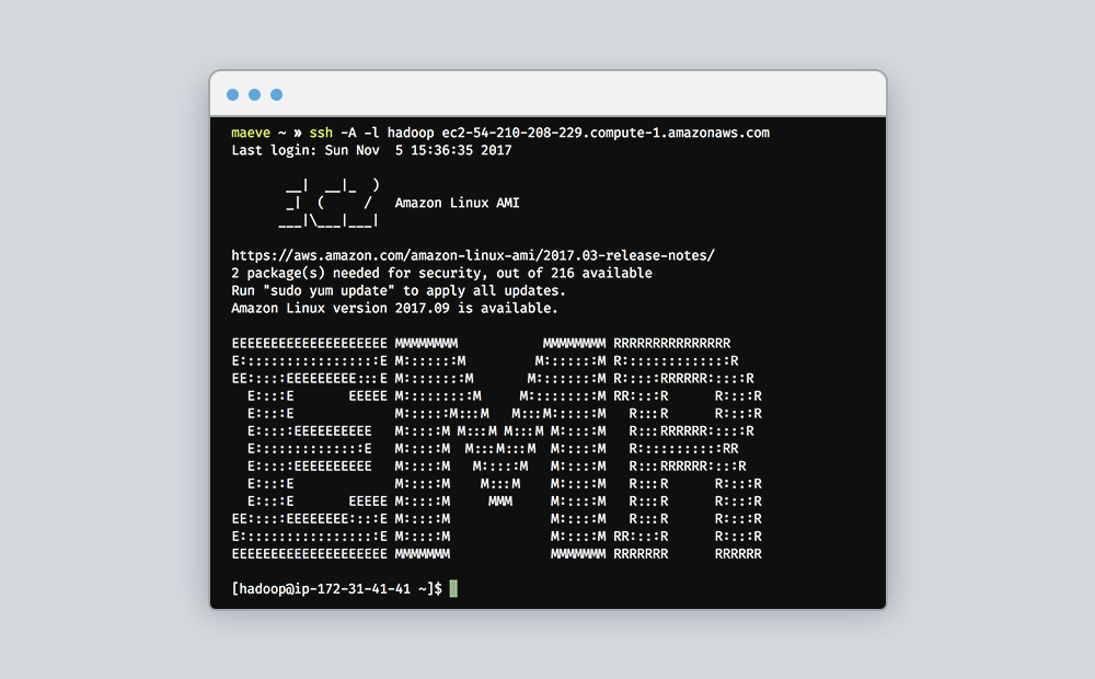
A Terraform Module for Amazon Elastic MapReduce
We encapsulated all resources required to launch an Amazon EMR cluster into a reusable Terraform module to leverage for batch GeoTrellis workflows with Apache Spark.
-
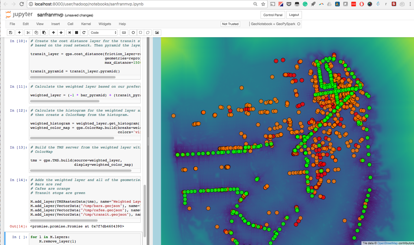
How to Run GeoPySpark in a GeoNotebook with Docker
Walk through the easiest path to enable the use of GeoPySpark, a Python library for geoprocessing big data, interactively in a GeoNotebook with Docker.