Software Engineering
<- Return to all blogs
-

Unleashing the Power of Geospatial AI: Elevating our Machine Learning Offerings
We outline recent projects tackling complex challenges through the lens of Machine Learning and discuss how our past experience will shape future work.
-
Unleashing the Power of Geospatial AI: Elevating our Machine Learning Offerings
We outline recent projects tackling complex challenges through the lens of Machine Learning and discuss how our past experience will shape future work.
-
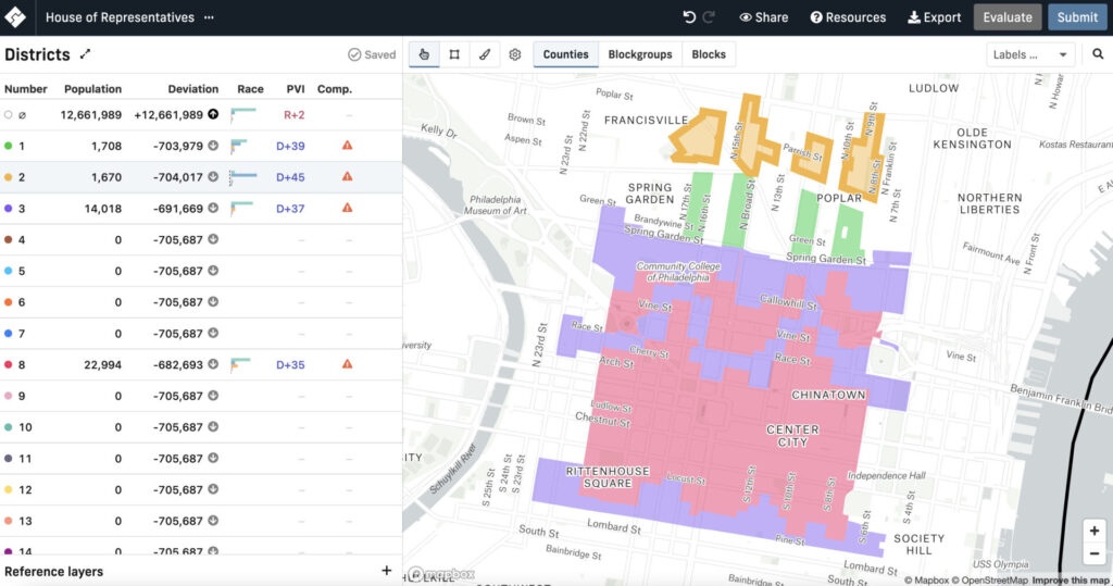
Cicero-NLP: using language models to extend the Cicero Database
We discuss how to make US Representative contact information easier to collect through automation using Natural Language Processing.
-
The JavaScript Cave: Watch Your Step!
If I had to describe what it’s like to work in JavaScript, I’d have to say, “it’s like the cave scene in Raiders of the Lost Ark.” The language is one booby trap after another. You can never let your guard down. Developers new to JavaScript don’t realize that the language is out to get…

-
Introducing: Raster Vision v0.20
We outline Raster Vision V0.20, introducing new features, improved documentation, and an entirely new way to use the project.
-
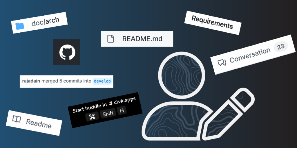
Why is some documentation better than others?
We outline how to ensure your documentation is accessible for both users and developers.
-
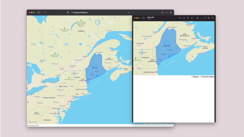
How to print a MapBoxGL.js map to a PDF in React
To generate a printable document that is well-formatted, we break down the implementation process to print a Mapbox map to a PDF in React.
-
The Bread and Butter of Software Development: Informing My Learning Through Professional Baking
Azavean Rachele Morino outlines her career transition from baking to software engineering, and where the two professions overlap.
-
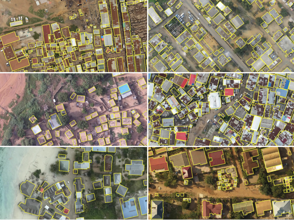
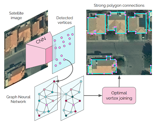
Automated Building Footprint Extraction (Part 3): Model Architectures
Reviewing model architectures for building footprint extraction including naive approaches, model improvement strategies, and recent research.
-
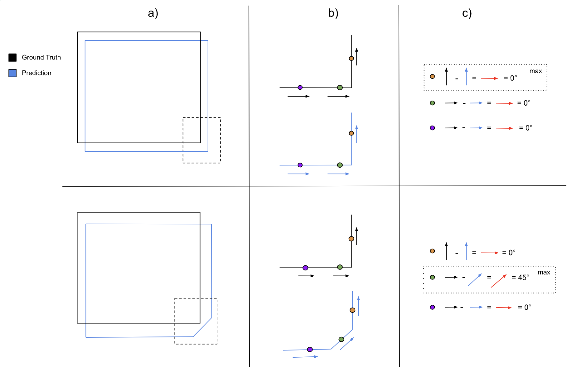
Automated Building Footprint Extraction (Part 2): Evaluation Metrics
In the second part of our Automated Building Footprint Extraction series, we review some evaluation metrics for building footprint extraction.
-
Automated Building Footprint Extraction (Part 1): Open Datasets
In the first installment of this three-part blog series, we summarize some of the latest research on automated building footprint extraction.