All blog posts
<- View categories
-
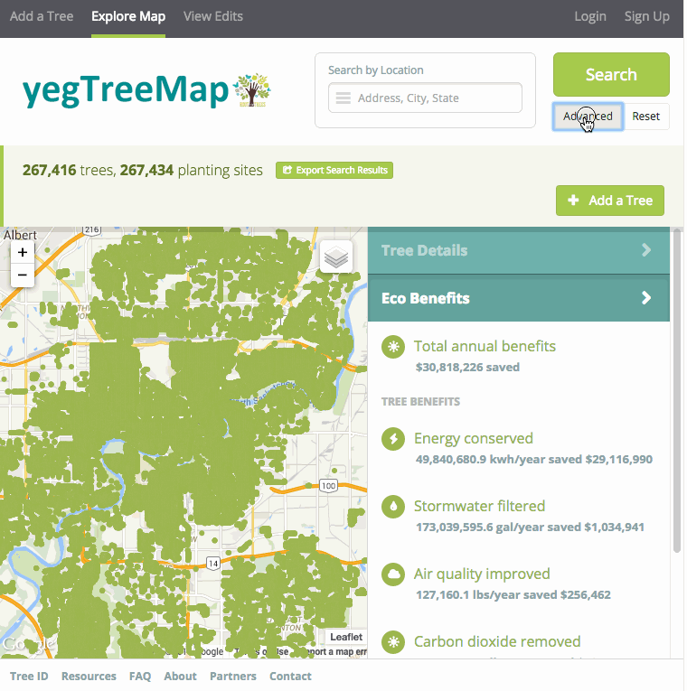
GIS, Mapping and Cartography Tools to Get You Started on Your Next Project
In this post we outline a list of tools and resources for various applications that will kickstart your project with the latest GIS, Mapping, and Cartography Tools.
-
GIS, Mapping and Cartography Tools to Get You Started on Your Next Project
In this post we outline a list of tools and resources for various applications that will kickstart your project with the latest GIS, Mapping, and Cartography Tools.
-
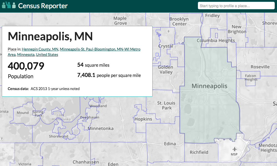
How to Get Census Data for Maps in 5 Steps
In this blog, we summarize a strategy you can use to gather census data for maps.
-
OpenDataPhilly Wins 2015 Web Project of the Year at Philadelphia Geek Awards
OpenDataPhilly won 2015 Web Project of the Year.
-
Research Grants Awarded to Build Web Tools for Managing and Modeling with Earth Observation Data
In this blog, we discuss our receipt of grants that we will use to build out earth observation web tools like ModelLab and Raster Foundry.
-
Preparing for a Spatial Career: Tips for Students
We tackle the question: how can students prepare themselves for a spatial career – a career in spatial analysis?
-
Research Grants to Manage and Model Earth Observation Data
We dive into how we plan to use two Small Business Innovation Research grants to manage and model earth observation data.
-
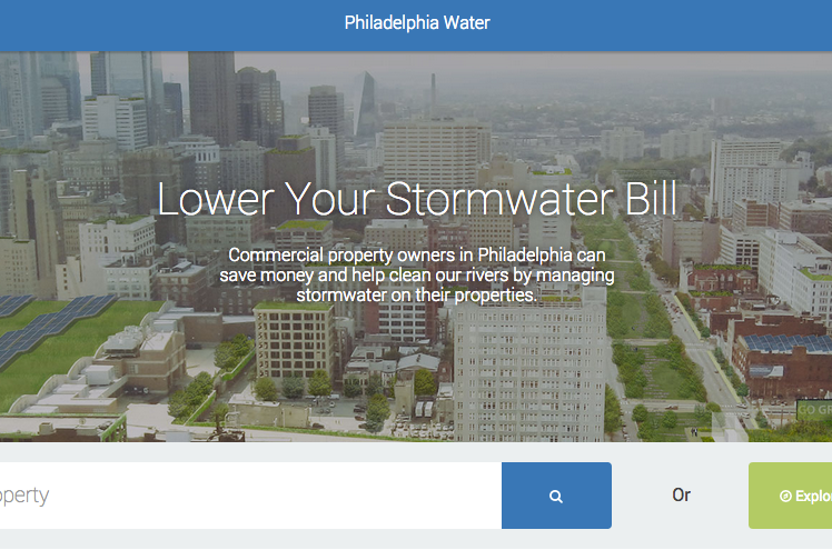
Saving Water by Saving Money: Incentivizing Greener Cities
We outline some highlights from our work so far with the Philadelphia Water Department as we collaborate to aid in “Saving Water by Saving Money”.
-
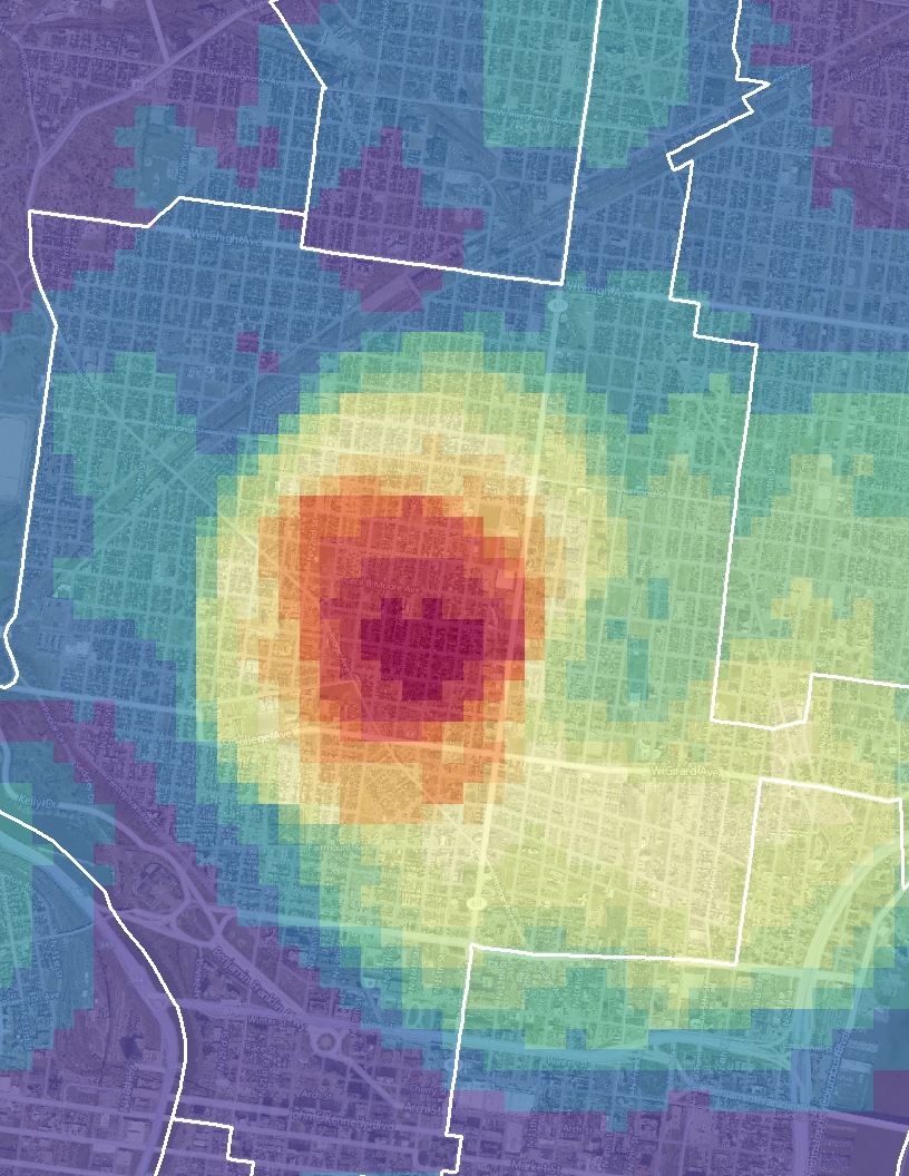
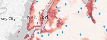
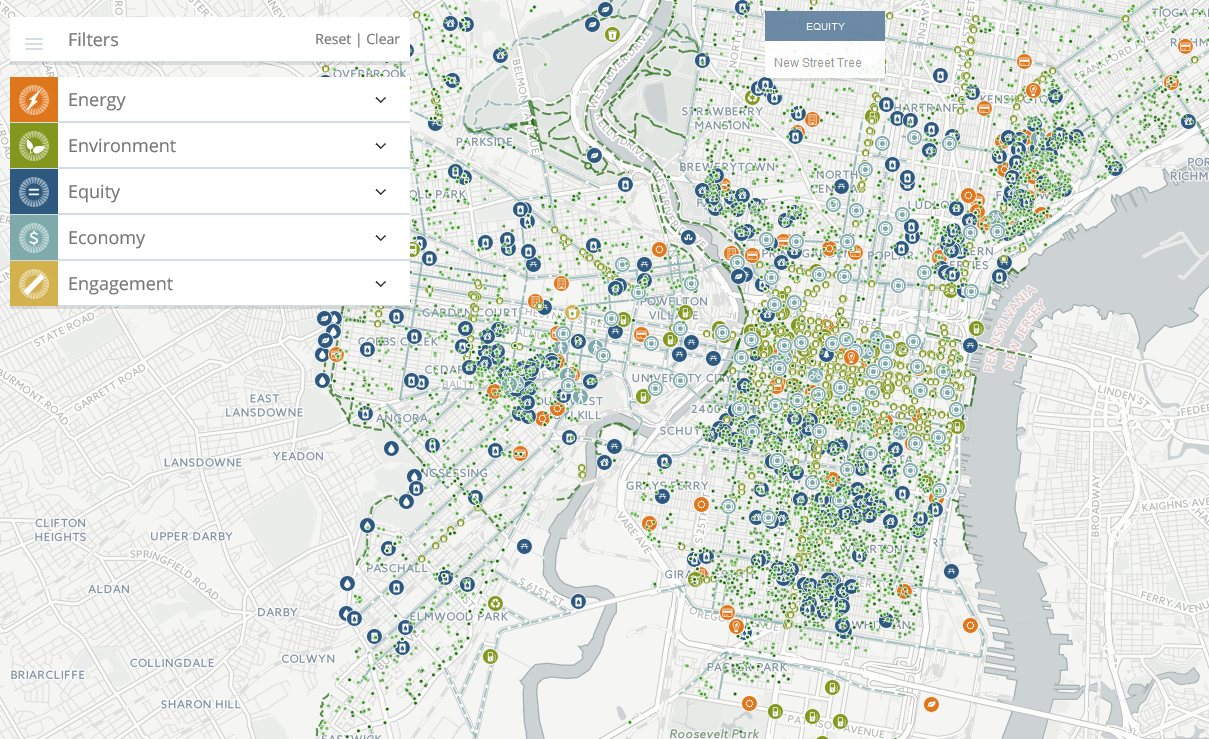
How to Fit 37 Data Sets Into One Map: Creative Cartography
In this post, we tackle a common challenge involving displaying a variety of data sets in one map.
-
TNC Recognized with Special Achievement in GIS (SAG) Award
We discuss our receipt of a Special Achievement in GIS Award for our work alongside The Nature Conservancy.
-
Loading Spatial Data into PostGIS with QGIS
In this blog, we summarize how to approach loading spatial data into PostGIS with QGIS.