All blog posts
<- View categories
-
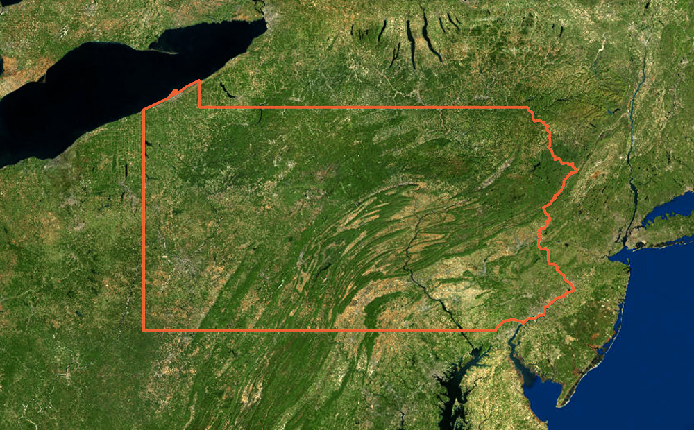
Generating Pyramided Tiles from a GeoTIFF using GeoTrellis
A tutorial for generating pyramided map tiles (also called Slippy Map tiles) from a GeoTIFF using GeoTrellis, which can be used in Leaflet or OpenLayers.
-
Generating Pyramided Tiles from a GeoTIFF using GeoTrellis
A tutorial for generating pyramided map tiles (also called Slippy Map tiles) from a GeoTIFF using GeoTrellis, which can be used in Leaflet or OpenLayers.
-
Provisioning ACM Certificates on AWS with Terraform
Learn how to create and validate certificates with a reusable Terraform module.

-
JDI Mind Tricks
I have always used a REPL driven approach to Clojure development and this has been very productive, but at times I have really missed the old school approach of setting break points and stepping through code, examining variables along the way. While there are some very capable solutions that get me part of the way…
-
Raspberry Pi Office Art
As a fun project and a way to get familiar with the popular Raspberry Pi platform, our team decided to build a real life display that can hang on the wall and be used to display various team metrics such as pageload speeds, burndown progress, achievement counts, etc. Below you will find a tutorial on…
-
D3 chart data scrubber in Angular
Open-source code with instructions to create an interactive feature like a data scrubber in Angular (Angular 2, Angular 4+) when mousing over a d3.js chart or visualization.
-
Trajectory of Geospatial Open Source Innovation Discussed at FOSS4G NA
Earlier this month, we presented, exhibited, and attended talks at FOSS4G NA in St. Louis. Read our recap of events and view the slides from our presentations.

-
-
Open Civic Data Standards: Book of Adopted and Proposed Standards
The Open Civic Data Standards ebook outlines the status of open data standards in several civic domains and lists domains where there is strong potential for developing or defining new open data standards.
-
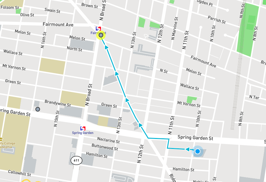
Find the Nearest Cheesesteak on National Cheesesteak Day
This web app built for National Cheesesteak Day provides walking directions to the nearest top ranked restaurant that serves cheesesteaks.
-
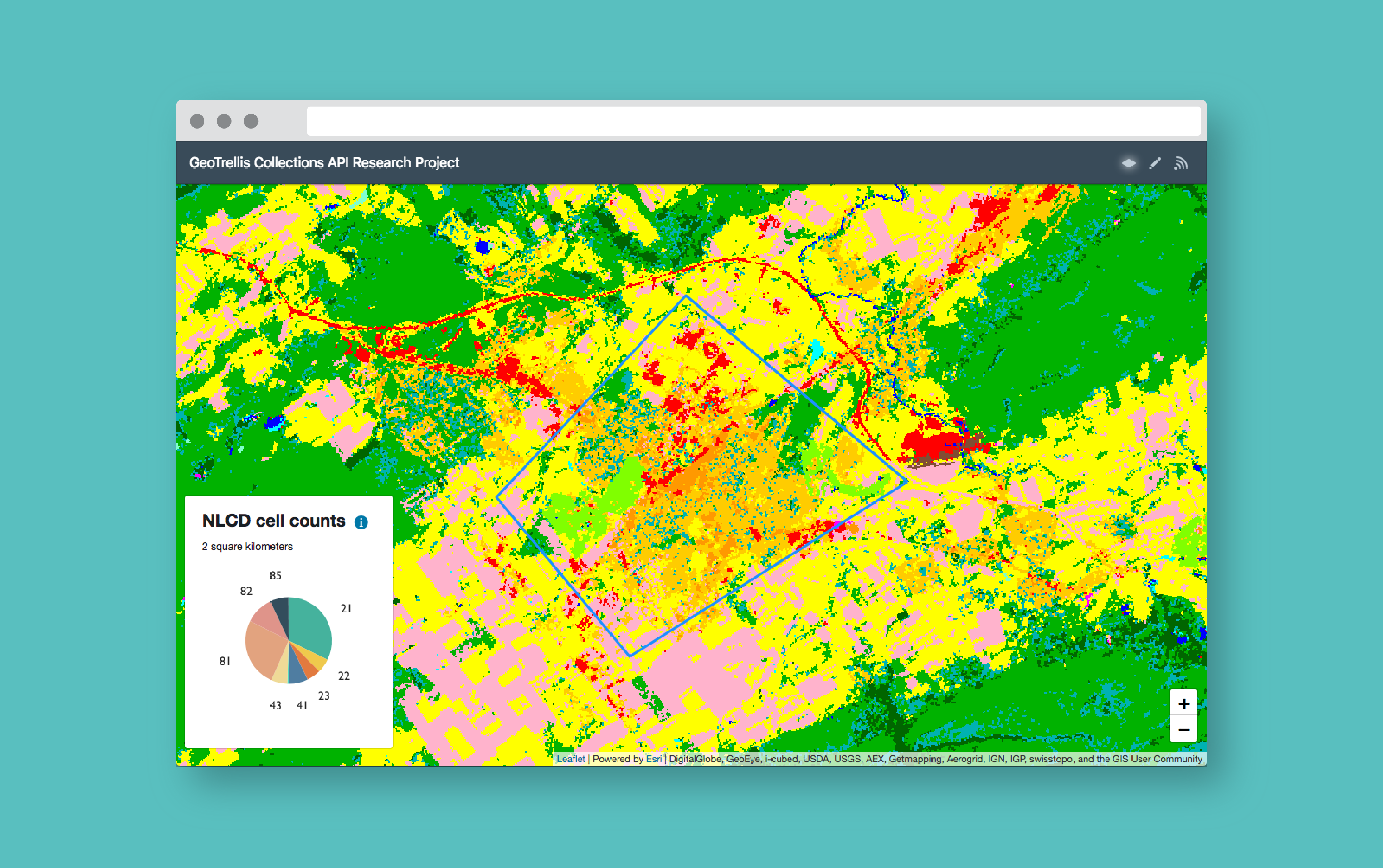
How to Build a Geoprocessing App with GeoTrellis and React
Follow this guide to set up a geoprocessing web application using GeoTrellis, Akka HTTP, and React.