Author: Sarah Cordivano
<- Return to all blogs
-
Meet Hopeworks: the Camden nonprofit offering GIS and web development training to youth
In this post we spotlight Hopeworks, a Camden-based nonprofit offering GIS and web development training for youth.
-
Meet Hopeworks: the Camden nonprofit offering GIS and web development training to youth
In this post we spotlight Hopeworks, a Camden-based nonprofit offering GIS and web development training for youth.
-
Preparing Geographic Data for Your Next Design Project in Illustrator
This guide presents the steps to convert a GIS shapefile of streets or roads into an SVG file that can be viewed and manipulated in Adobe IllustratorВ or a similar program. В
-
GIS, Mapping and Cartography Tools to Get You Started on Your Next Project
In this post we outline a list of tools and resources for various applications that will kickstart your project with the latest GIS, Mapping, and Cartography Tools.
-
Preparing for a Spatial Career: Tips for Students
We tackle the question: how can students prepare themselves for a spatial career – a career in spatial analysis?
-
Balloon Mapping: A Citizen Science Exercise
In this post we explore the idea of balloon mapping as a citizen science practice.

-
Building the Future of Open Data: Part 2
The first part of the Building the Future of Open Data blog explored the survey results and synthesis for my Future of Open Geo Data talk atВ FOSS4GNA. This 2nd part explores the steps that data consumers can take to contribute toВ a bright future for open data. Guidelines for Consumers To begin with, it’s important to…
-
Building the Future of Open Data: Part 1
In this blog we answer important questions pertaining to the future of open data such as: what might the future of open government data look like? How will cities evolve to meet the needs of both producers and consumers of data? How will data providers share ideas and learn from each other to create a…

-
A New Vision for Accessible Maps
In this blog, we discuss how, as mapmakers, we can keep in mind individuals with visual impairment including low vision and color blindness.
-
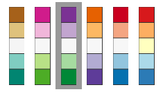
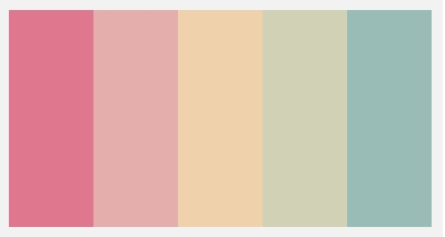
4 Cartography Color Tips Hue Should Know
In this blog, we compile some tips on the thoughtful use of color in cartographic design.
-
Good Planning Begins with Good Data: Mapping Tools for Community Organizers
In this post, we detail the most interesting topics and questions from a course run by the City of Philadelphia’s City Planning Commission for community organizers.