Author: Jianting Zhao
<- Return to all blogs
-
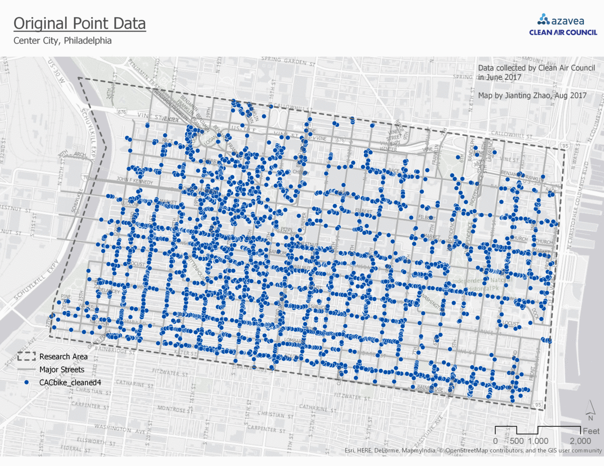
Comparison of 4 Point Data Aggregation Methods for Geospatial Analysis
This post is part of a series of articles written by 2017 Summer of Maps Fellows. Azavea’s Summer of Maps Fellowship Program is run by the Data Analytics team and provides impactful Data Analysis Services Grants for nonprofits and mentoring expertise to fellows. To see more blog posts about Summer of Maps, click here … One…
-
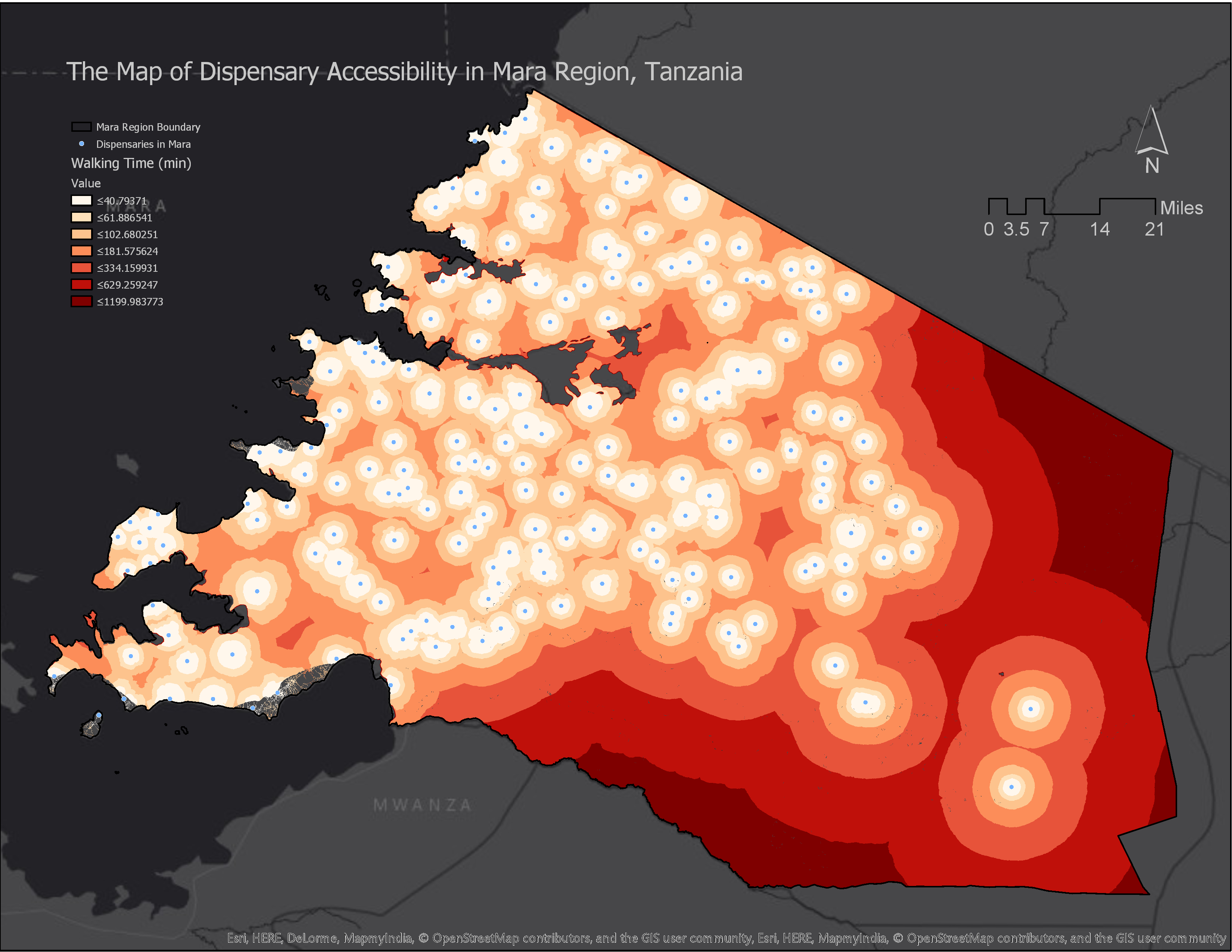
How to Calculate Location Accessibility with AccessMod 5
This post is part of a series of articles written by 2017 Summer of Maps Fellows. Azavea’s Summer of Maps Fellowship Program is run by the Data Analytics Team and provides impactful Data Analysis Services Grants for nonprofits and mentorship to fellows. To see more blog posts about Summer of Maps, click here. Mapping location…