Author: Daniel McGlone
<- Return to all blogs
-
Making Custom Infowindows and Legends in CartoDB Editor
In this post we detail our experience making custom infowindows and legends in CartoDB Editor
-
Making Custom Infowindows and Legends in CartoDB Editor
In this post we detail our experience making custom infowindows and legends in CartoDB Editor
-
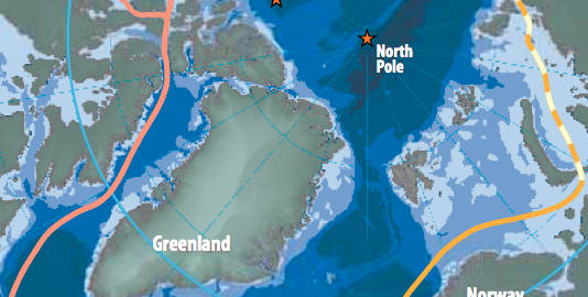
The Changing Map of the Arctic
In this post, we discuss how geographers and cartographers approach generating a map of the arctic.
-
Five New GIS Tools in 2014
We discuss five exciting GIS tools released in 2014 that are sure to grow in 2015.
-
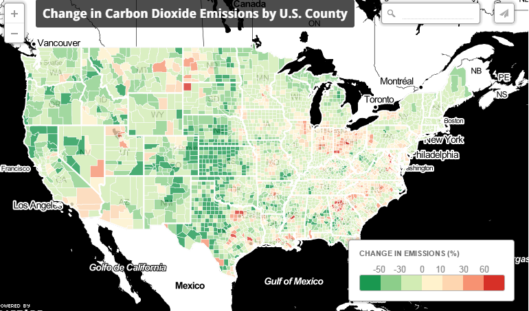
Mission Emission: Analyzing and Mapping CO2 Emissions
In this blog, we discuss our work estimating and mapping CO2 emissions between 1997 and 2010.
-
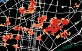
Analyzing Philadelphia Crash Data
In this blog, we share the workflow and tools used in the GIS part of our analysis of Philadelphia crash data.
-
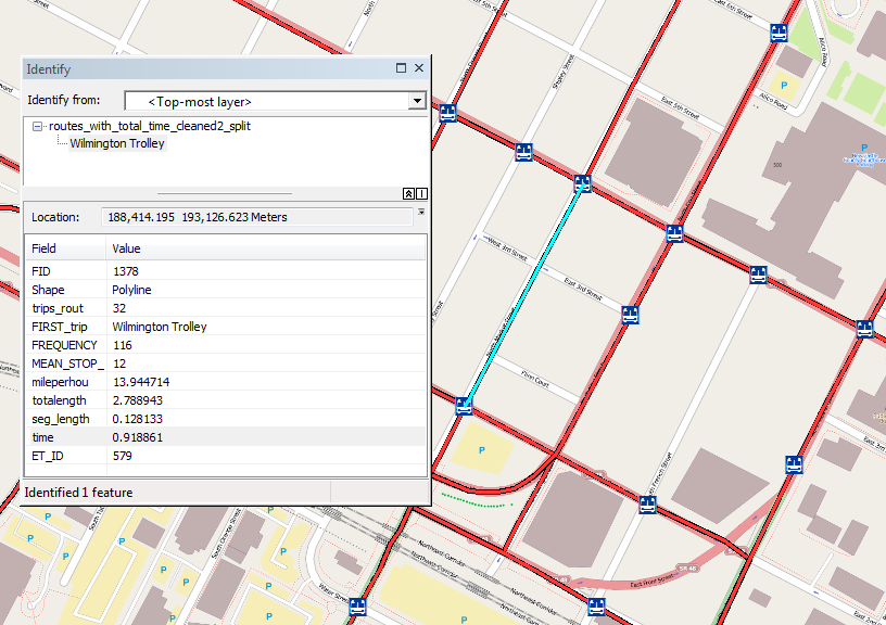
Using GTFS Data to Generate Bus Routes with Travel Time
We outline our work on a tool that allows the DPR’s GIS department to input the type of recreation (such as playgrounds, basketball courts, swimming pools, etc.), buffer around those locations and summarize the population within those buffers using GTFS data.