Cicero
<- Return to all blogs
-
Cicero-NLP: using language models to extend the Cicero Database
We discuss how to make US Representative contact information easier to collect through automation using Natural Language Processing.
-
Cicero-NLP: using language models to extend the Cicero Database
We discuss how to make US Representative contact information easier to collect through automation using Natural Language Processing.
-
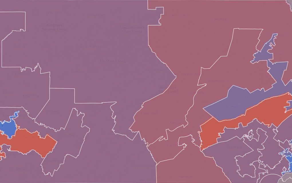
The Evolution of Our Redistricting and Gerrymandering Work
In part 1 of our series on Azavea’s redistricting and gerrymandering work, we look at the history of our involvement in this space and what we’re currently working on. Gerrymandering, compactness, contiguity, the efficiency gap. These are the kinds of words that make a lot of redistricting nerds excited these days. Rarely does the application…
-
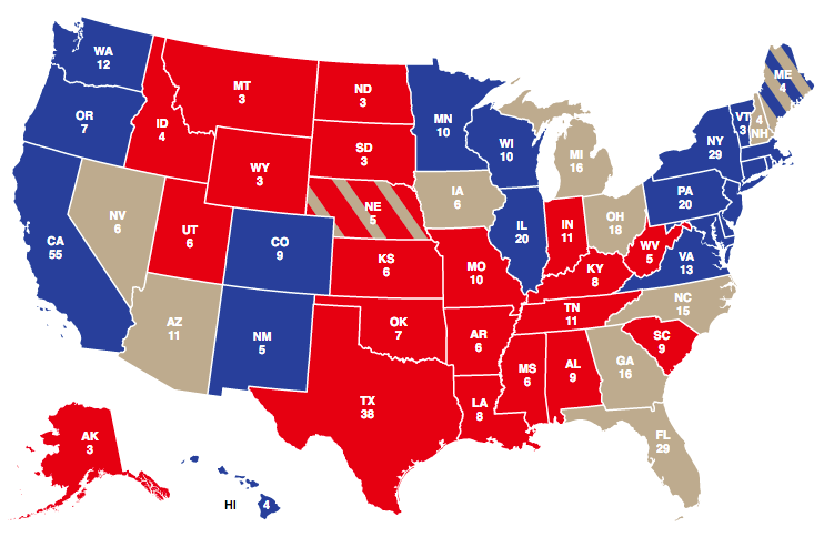
5 Election Results Maps You Need for Election Day
This post details 2016 election maps to watch on election night.
-
Redistricting Roundup: 2016 Edition
In this blog we give an update on all of the redistricting litigation and news we tracked during the 2016 election cycle.
-
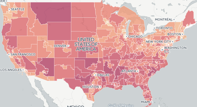
2015 Fatal Crash Data by Congressional District Released
In this post, we take a look at the geography of fatal crashes by Congressional district in the U.S in response to the recent release of the 2015 Traffic Fatalities data and call to action.
-
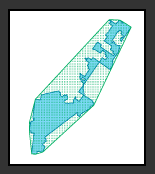
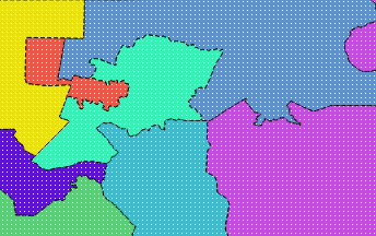
Measuring District Compactness in PostGIS
In this blog we discuss strategies for measuring district compactness in PostGIS.